
Neighborhoods & Communities
Compare Fort Worth neighborhoods, nearby cities, and lake communities through focused guides to housing character, setting, and everyday convenience.
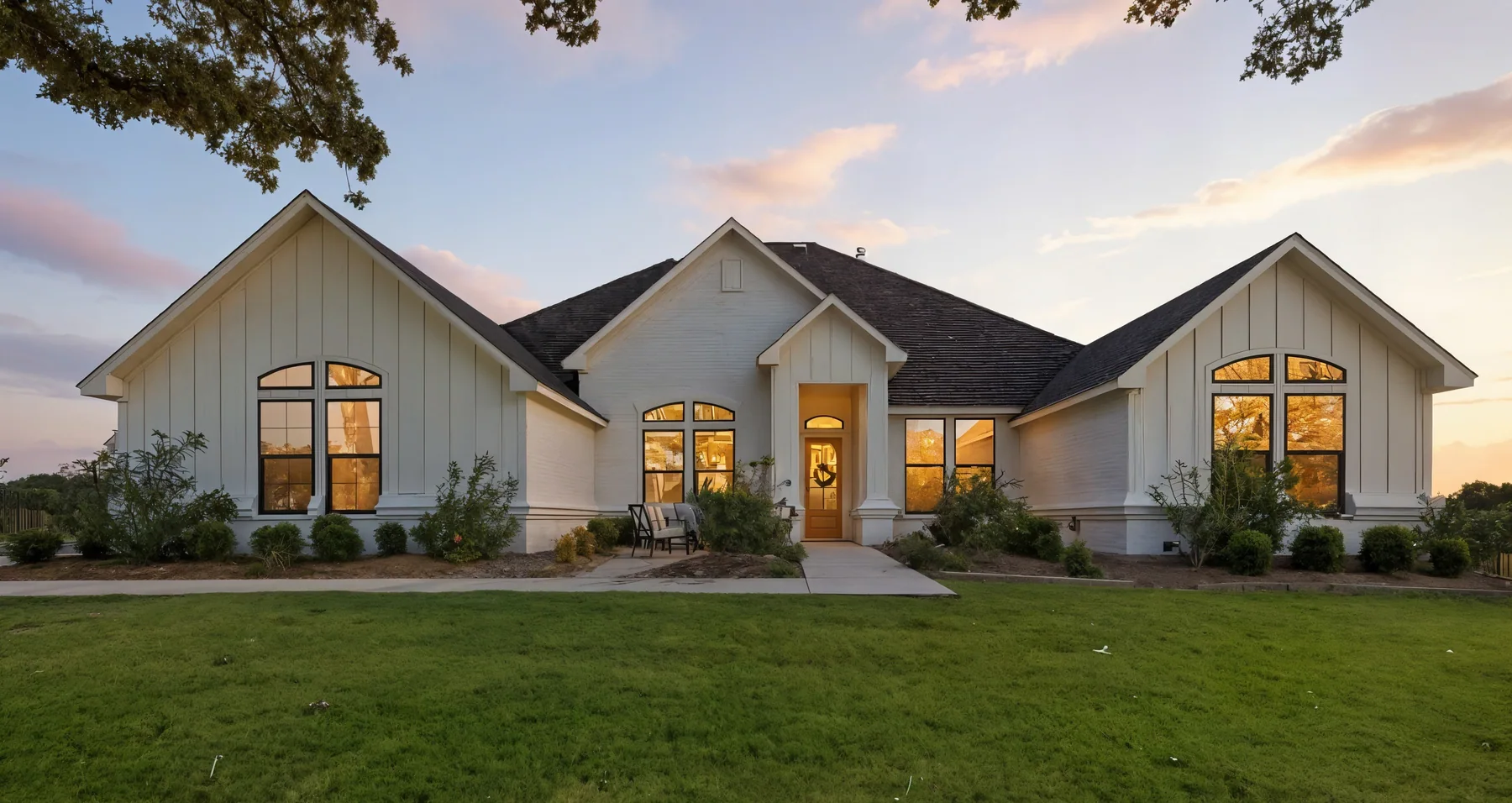 01
Aledo
Aledo sits about 20 miles west of Downtown Fort Worth in Parker County, with typical drives of 25 to 35 minutes via I-20. Rolling terrain, community trails, and a small-town center give the area an open, residential character within reach of the city.Explore Aledo
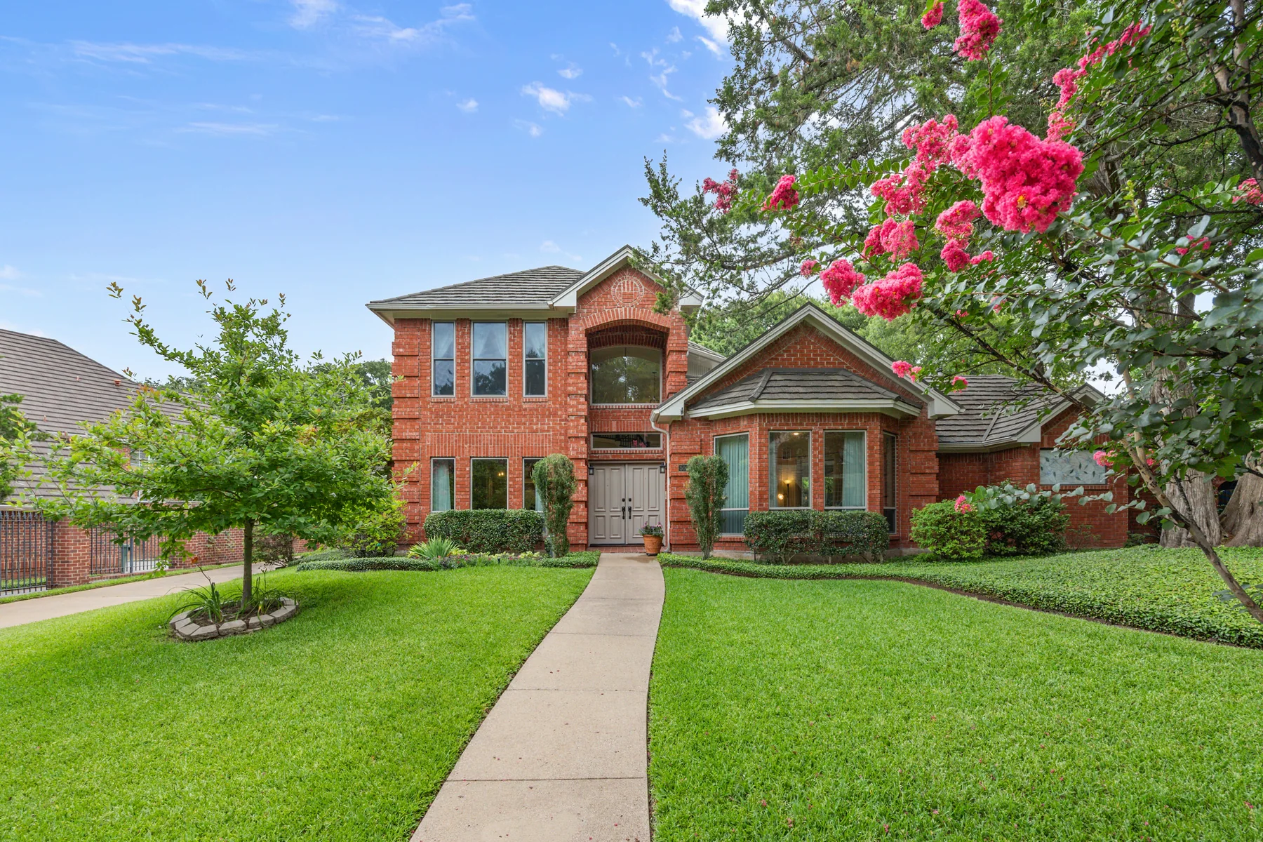 02
Arlington
Arlington lies between Fort Worth and Dallas along I-30 and I-20, with typical drives to Downtown Fort Worth of 20 to 30 minutes. The Entertainment District, the University of Texas at Arlington, Lake Arlington, and River Legacy Park give the city several distinct centers of activity.Explore Arlington
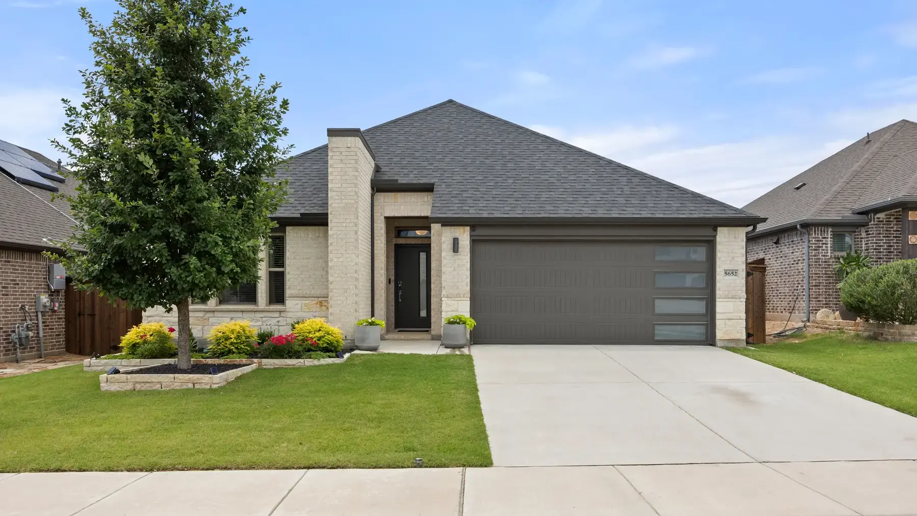 03
Benbrook
Benbrook borders southwest Fort Worth near I-20 and US-377, with typical drives to Downtown Fort Worth of 15 to 25 minutes. Benbrook Lake, Dutch Branch Park, and the Clear Fork corridor make outdoor access a defining part of daily life.Explore Benbrook
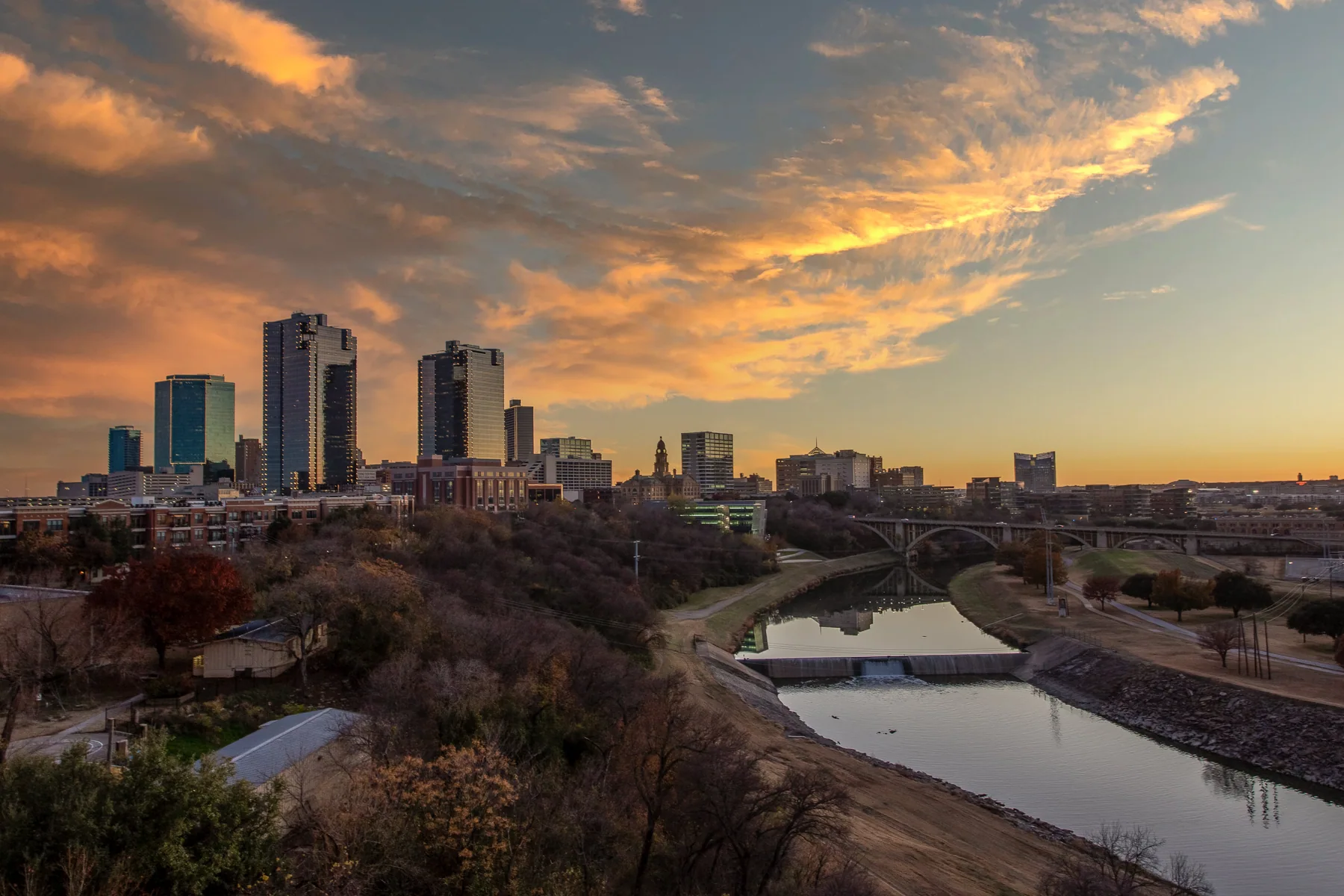 04
Downtown Fort Worth
Downtown Fort Worth is the city's compact urban core, where most local trips to the central business district take 5 to 10 minutes or can be made on foot. Sundance Square, Bass Performance Hall, the Fort Worth Convention Center, and Trinity Metro's Central Station anchor its daily rhythm.Explore Downtown Fort Worth
 05
East Fort Worth
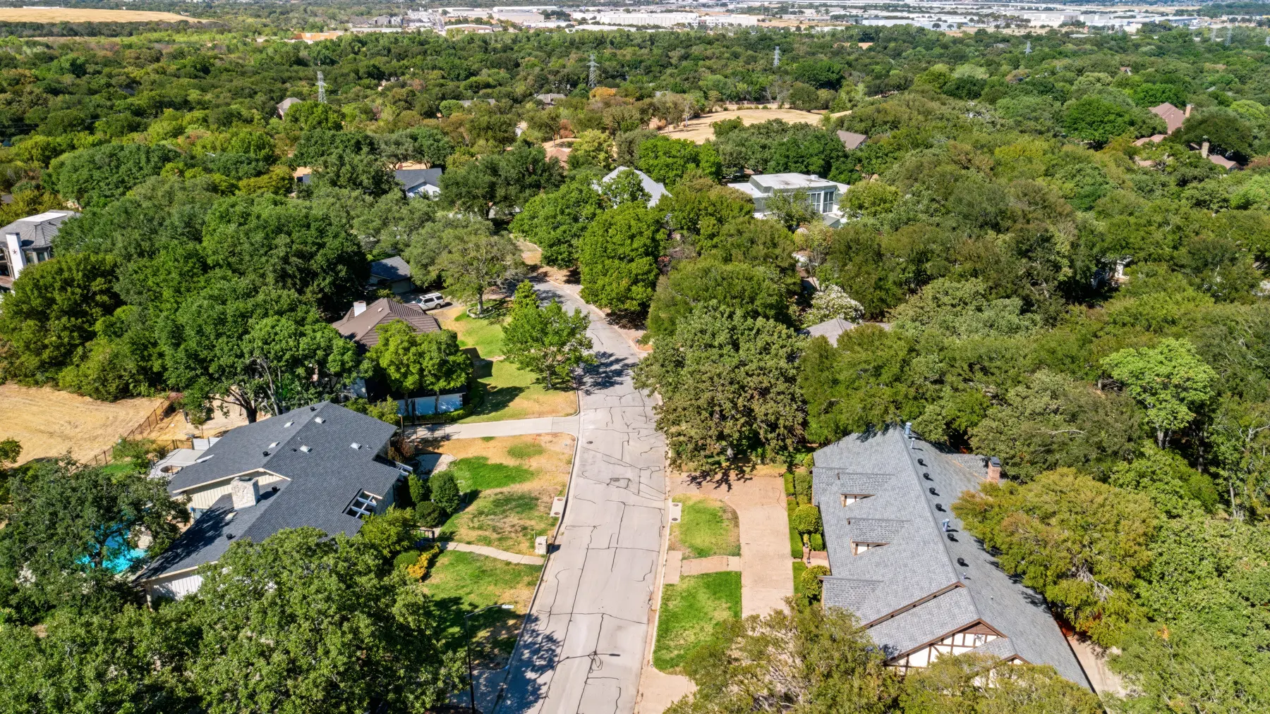
East Fort Worth extends from the city center toward Arlington along I-30, East Lancaster Avenue, and Loop 820, with typical downtown drives of 10 to 20 minutes. Mature tree canopies, rolling streets, long-established communities, and access to east-side parks give the area a varied residential identity.Explore East Fort Worth
 06
Lake Living
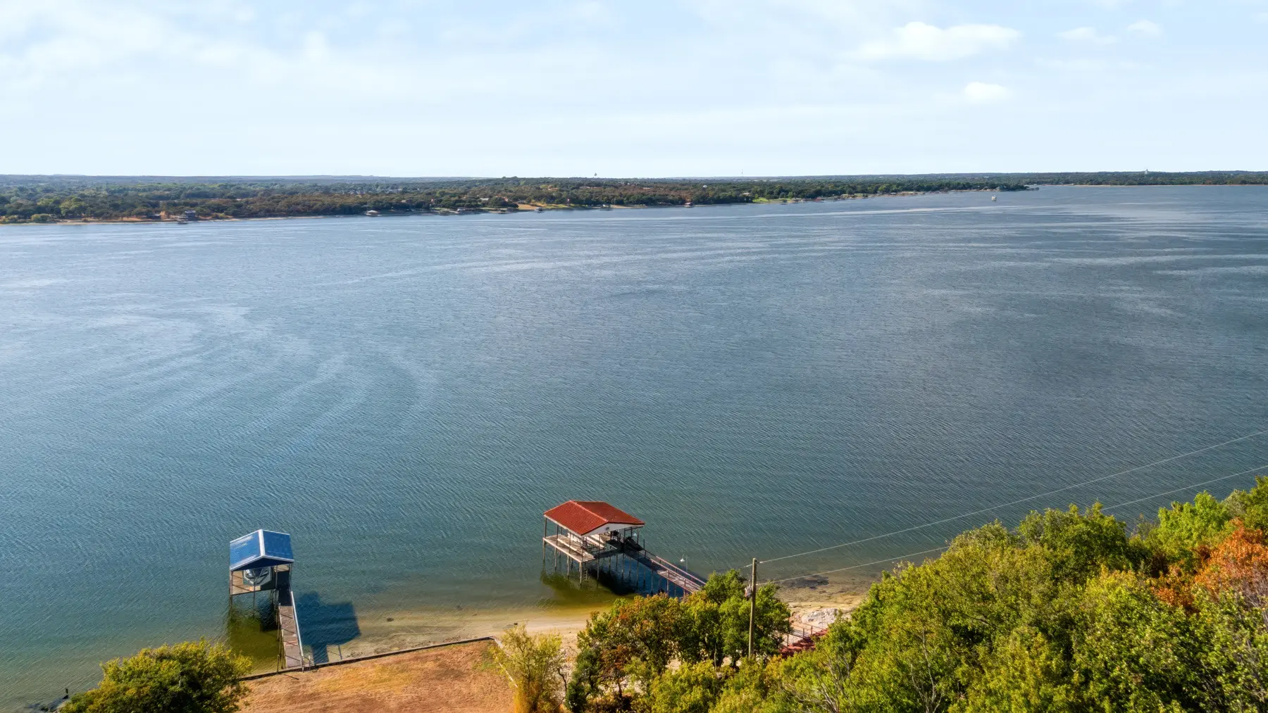
Fort Worth lake living spans separate destinations rather than one continuous district: Lake Worth and Eagle Mountain Lake are usually 20 to 35 minutes from downtown, while Possum Kingdom is commonly a 90 to 110 minute drive. Water access, sunset views, marinas, and trail systems are the central draw.Explore Lake Living
 07
Midcities
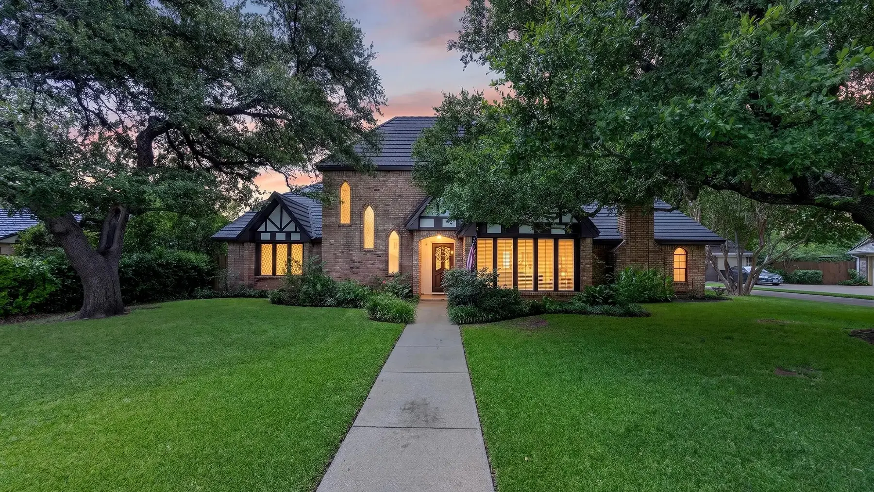
The Midcities occupy central Tarrant County between Fort Worth and Dallas, with typical drives to Downtown Fort Worth of 20 to 35 minutes depending on the city and route. DFW International Airport, SH-121, SH-183, and regional job centers make connectivity the area's defining advantage.Explore Midcities
 08
Near Southside
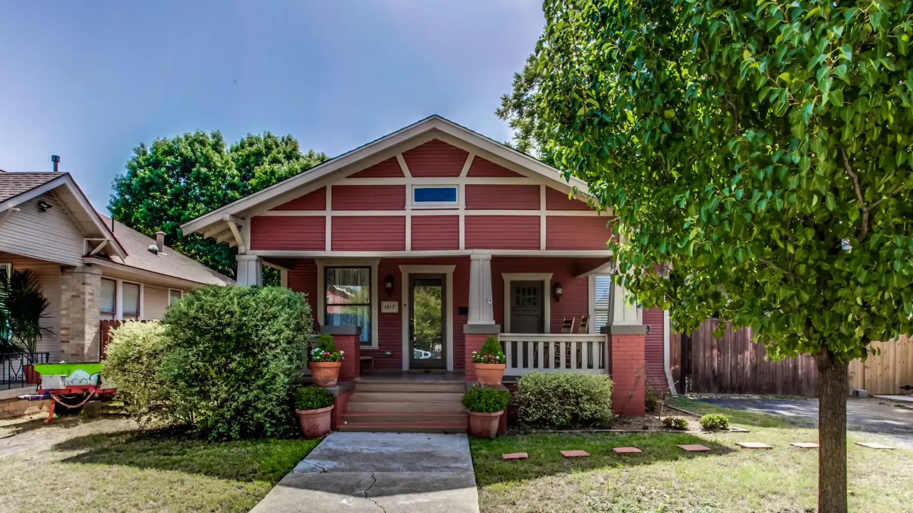
Near Southside sits immediately south of Downtown Fort Worth, with typical drives to the city center of 5 to 10 minutes. The Medical District, West Magnolia Avenue, and South Main Street anchor a walkable mix of healthcare, restaurants, independent businesses, arts, and nightlife.Explore Near Southside
 09
Northeast Fort Worth
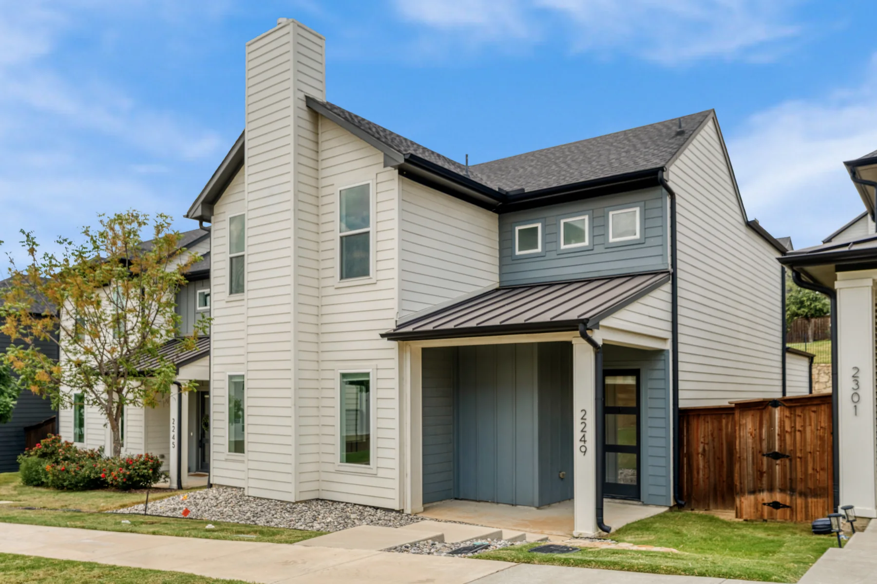
Northeast Fort Worth includes Oakhurst and Riverside, two neighborhoods near the Trinity River and the Race Street corridor.Explore Northeast Fort Worth
 10
South Fort Worth
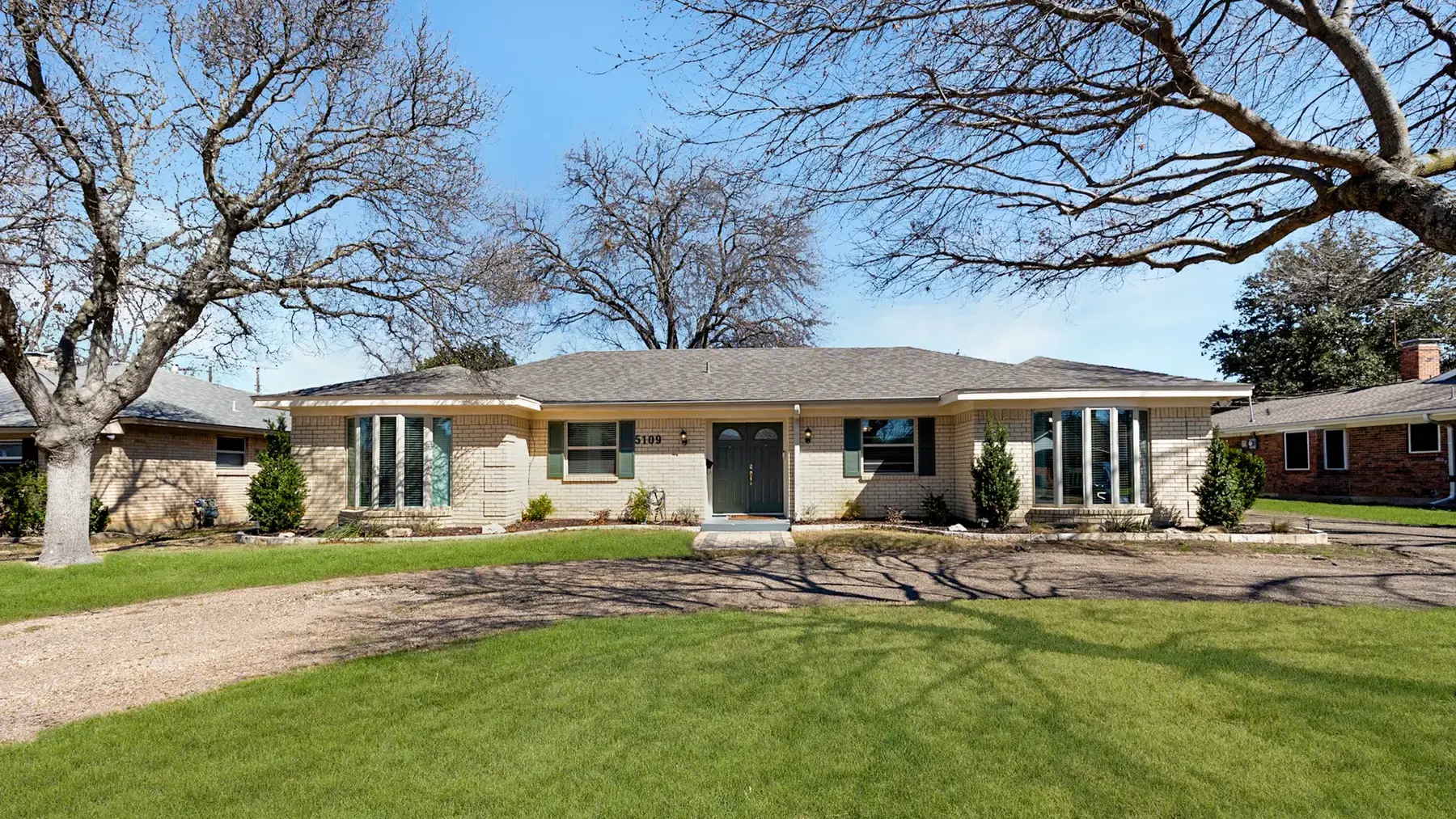
South Fort Worth extends along I-35W, McCart Avenue, and the southern end of the Chisholm Trail Parkway, with typical downtown drives of 15 to 25 minutes. Established neighborhoods, major retail corridors, and continuing residential growth give this broad area several different housing patterns.Explore South Fort Worth
 11
Southwest Fort Worth
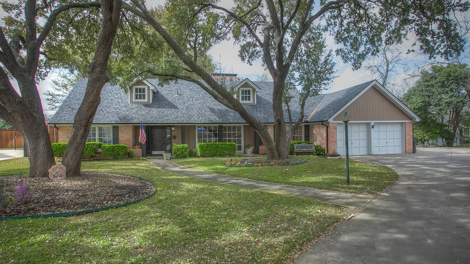
Southwest Fort Worth follows the Clear Fork, Hulen Street, and the Chisholm Trail Parkway, with typical drives to Downtown Fort Worth of 10 to 20 minutes. Trinity Trails access, The Shops at Clearfork, Waterside, and established residential streets make the area one of the city's most varied home-search corridors.Explore Southwest Fort Worth
 12
Weatherford
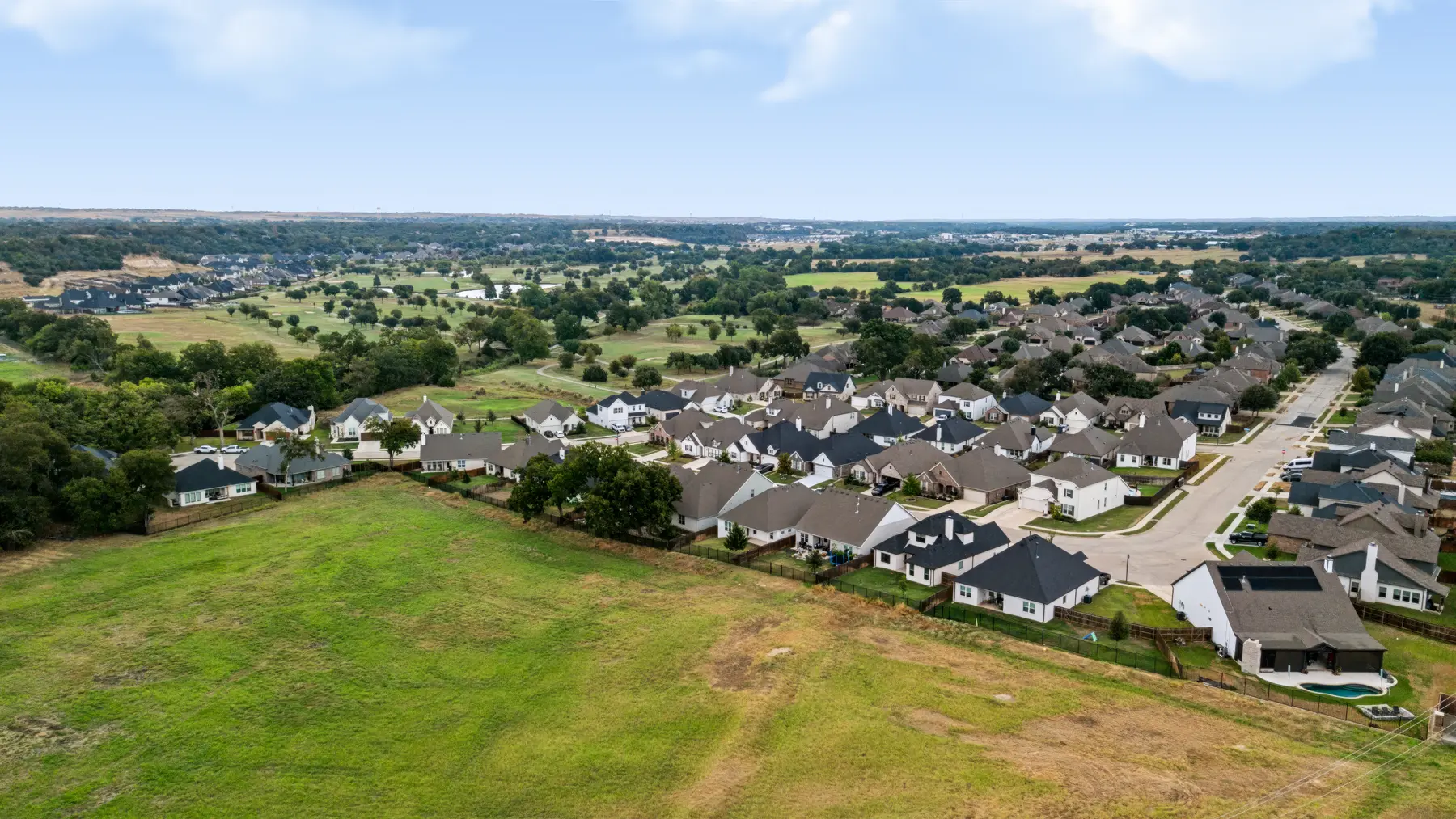
Weatherford is the Parker County seat about 30 miles west of Fort Worth, with typical drives to downtown of 35 to 50 minutes via I-20. Its courthouse square, historic districts, Chandor Gardens, and equestrian economy give the city an identity separate from suburban Fort Worth.Explore Weatherford
 13
West Central
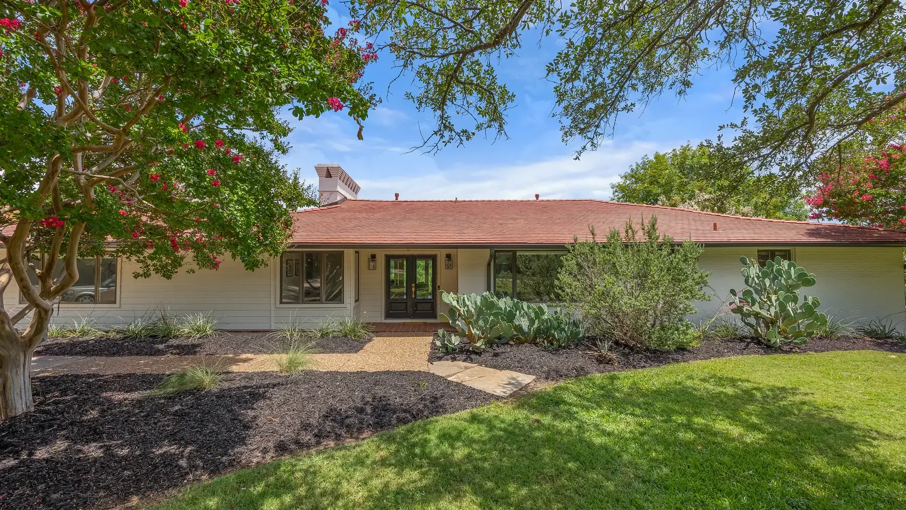
West Central Fort Worth begins just west of downtown, with typical drives to the city center of 5 to 15 minutes along I-30, Camp Bowie Boulevard, or West 7th Street. The Cultural District, Dickies Arena, West 7th, and Camp Bowie create a dense mix of museums, events, dining, offices, and established residential streets.Explore West Central
 14
West Fort Worth
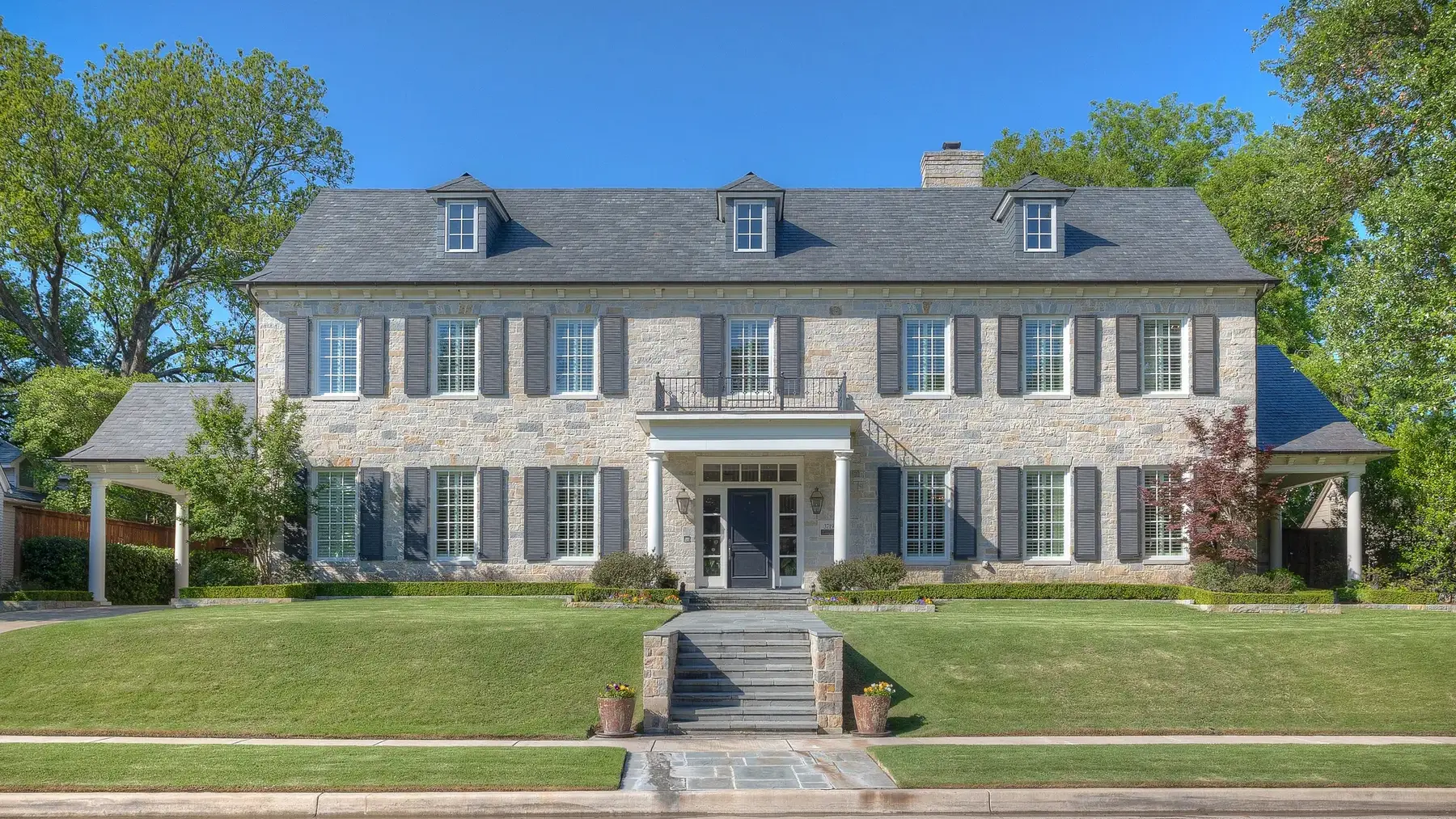
West Fort Worth extends along Camp Bowie Boulevard toward Westover Hills, Ridgmar, and the western city limits, with typical drives to Downtown Fort Worth of 10 to 20 minutes. Country clubs, mature trees, neighborhood parks, and long-established residential streets shape the area's refined but varied character.Explore West Fort Worth
 15
Willow Park
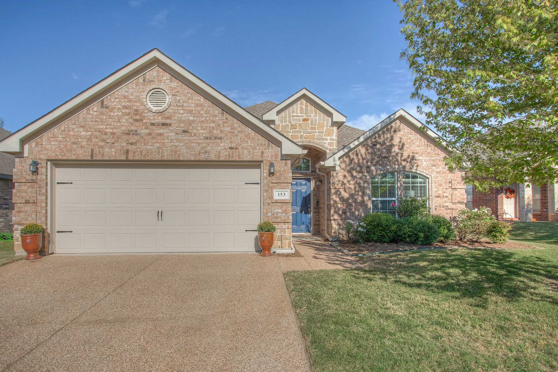
Willow Park is a small Parker County city along I-20, east of Weatherford. Residential streets extend north and south of the interstate, with local destinations along Ranch House Road and the Bankhead Highway corridor.Explore Willow Park
Personal Guidance
Not sure which area fits?
Corrine can help you compare homes, settings, and everyday convenience with a clear plan for your search.
Schedule a Consultation